
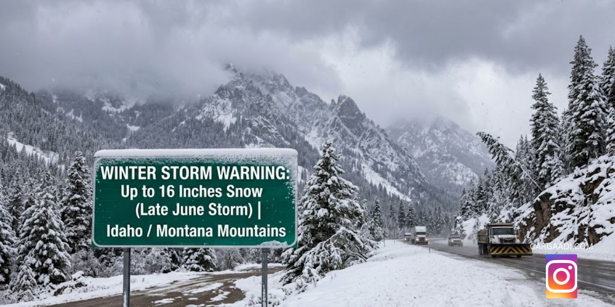
Summer has officially started, but parts of the northern Rockies are about to look more like January than late June.
A rare winter storm is moving into mountain areas of Idaho and Montana, bringing the possibility of heavy snowfall, freezing temperatures, and difficult travel conditions. While many parts of the United States are dealing with heat, higher elevations in the Rockies are preparing for accumulating snow measured in inches, not centimeters.
A Rare Late-June Snow Event Is Taking Shape
Weather alerts have been issued across mountain regions as a strong cold system pushes unusually cold air into the northern Rockies.
Forecasts indicate snow could develop from Saturday night and continue into Monday morning in some higher-elevation locations. Areas around mountain passes and elevated terrain are expected to see the biggest impacts.
This kind of setup is uncommon because June is normally associated with melting snow and summer travel — not fresh winter accumulation.
Where Snow Could Be Heaviest
The most significant snowfall is expected at higher elevations across parts of Idaho and Montana.
According to warning information, many mountain areas could receive around 4 to 8 inches of snow, while localized sections of the Anaconda-Pintler mountain region may see totals reaching 8 to 16 inches if conditions develop as forecast.
Forecast attention has also focused on routes and elevated corridors including areas near Highway 28, Lemhi Pass, Lost Trail Pass, and approaches around West Yellowstone where changing conditions may affect travel.
Expected Storm Snapshot
| Category | Forecast Details |
|---|---|
| Event Type | Late-season winter storm |
| Region | Idaho and Montana mountain areas |
| Timing | Saturday night through Monday morning |
| Snow Potential | 4–8 inches common in higher terrain |
| Peak Local Totals | Up to 16 inches in isolated mountain zones |
| Main Risks | Reduced visibility, slick roads, cold temperatures |
Forecasts can change as the storm develops.
Why This Storm Feels So Unusual
Snow in the Rockies during late spring and early summer is not impossible, but a winter warning carrying double-digit snowfall potential at the end of June is rare enough to draw national attention.
Meteorologists say the setup is being driven by an unusually sharp cold pattern crossing the region, dropping temperatures enough for snow to replace rain in mountain elevations.
Travel and Outdoor Plans Could Be Affected
People planning hiking, camping, mountain driving, or national park visits should expect rapidly changing conditions.
Road conditions at higher elevations may become slippery, temperatures could drop quickly after sunset, and visibility may decrease during periods of heavier snowfall. Checking updated local forecasts and road advisories before travel remains important.
Final Thoughts
At a time when most people expect sunshine and summer temperatures, parts of Idaho and Montana may wake up to fresh snow and winter-like scenery.
It is a reminder that mountain weather can change fast — even at the end of June.
Disclaimer
This article is based on publicly available weather forecasts and warning information available as of June 27, 2026. Snow totals and alert areas may change as conditions evolve.